Creating the Saugus Ash landfill maps
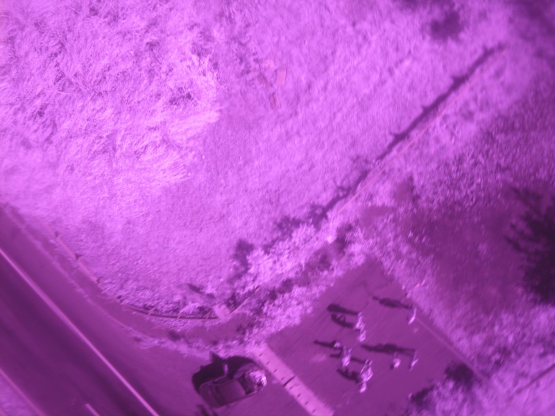
We had a great time last Monday at the ash Saugus landfill, where all of Cambridge’s trash goes after being burnt in the nearside incinerator plant. Jeff did an amazing job organizing all the gear necessary and posting the two flights, the second of which was with an infrared camera, on MapMill. We didn’t need to use the helium and balloon, wind was good and in the right direction to fly the kite over the landfill. We’ll need some help sorting them to find the best pictures. It’s easy, you can help:
- http://mapmill.org/sort/2011-10-10-saugus-landfill-a
- http://mapmill.org/sort/2011-10-10-saugus-landfill-b-infrared
We have started constructing the maps:
- http://mapknitter.org/maps/saugus-incinerator-landfill
- http://mapknitter.org/maps/saugus-incinerator-ash-landfill-infrared
Quoiting Jeff:
“I encourage folks to help out putting this map together, although its quite a difficult site to stitch because the mounds of trash move around quite a bit. I made 2-3 fairly good image placements but we’ll have to keep adjusting everything as we add more of the site. We seem to have gotten at least the whole southern half of the landfill.”
Indeed, it’s quite difficult to stitch them, but we are getting better at it. The new versions of mapknitter has just been released!
[This entry will be updated].
